
Open any map file. See it instantly.
GeoEditor is a free GIS workspace that runs in your browser. Open, inspect, style and export spatial data without installing desktop software.
No account. Your files are processed in the browser and are not uploaded.
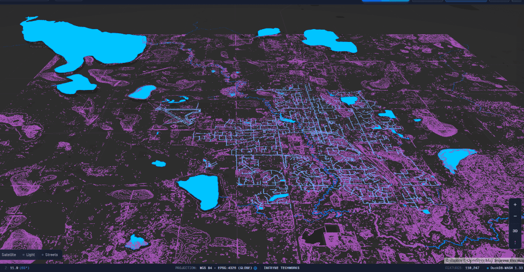
From raw data to a useful map.
Open files or connect a service
Drop in local spatial files, or connect to a public ArcGIS service and keep its published styling.
Understand every feature
Inspect attributes, filter records and query the data with SQL without leaving the map.
Style, compare and export
Compare layers in 2D or 3D, restyle them, then export what you need in the format you need.
Skip the conversion step.
Open common spatial formats directly, or connect to an ArcGIS service and keep its published styling.
- Shapefile and ZIP
- Including zipped shapefiles with several layers
- GeoJSON
- Single files or whole feature collections
- GeoParquet
- Large columnar datasets, read in the browser
- FlatGeobuf
- Streamed so big files open quickly
- KML and KMZ
- Google Earth files and their styling
- GPX and GeoTIFF
- GPS tracks and raster imagery
- CSV and TSV
- Tables with coordinate columns
Questions people ask first.
Are my local files uploaded?
Local files are processed in your browser. Basemaps and connected ArcGIS services require network access, but your files do not need to be uploaded to a server.
Do I need an account?
No. Open the studio and start exploring—there is no sign-up or desktop installation.
Will my workspace be saved?
Your workspace remains in the current browser session. Export any layers you need before refreshing or closing the page.
How large can my files be?
Capacity depends on file format, browser, and available memory. For large datasets, GeoParquet and ArcGIS services are the best starting points.
Open a file. Find the pattern.
Start with a file you already have, or explore a public ArcGIS layer.